Real-Time Control for Drone Ops
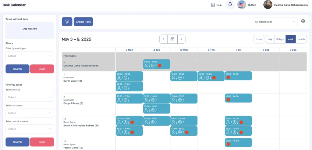
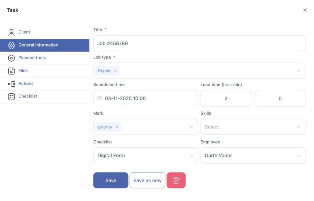
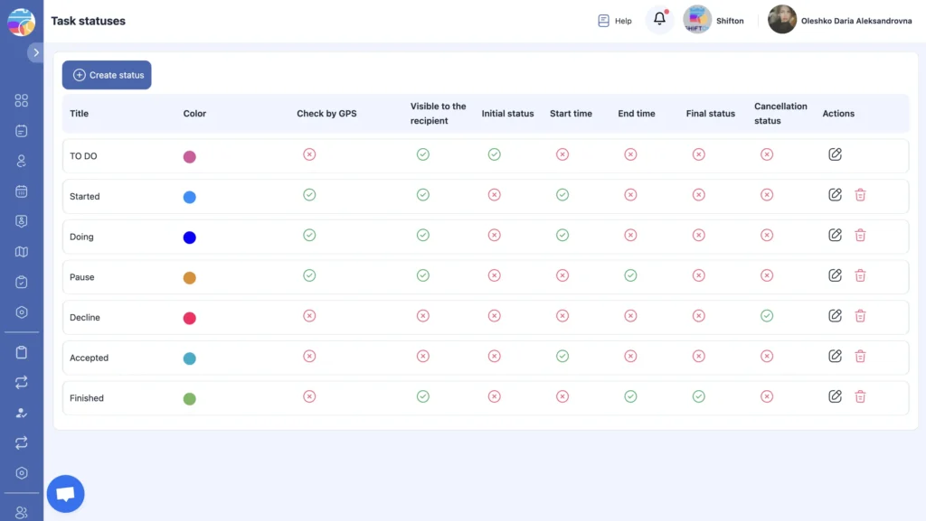
Running drone inspection / aerial photography means handling site surveys, flight plans, airspace/NOTAM checks, LAANC/permits, payload setup (RGB/thermal/LiDAR), battery cycles, mission execution, data offload, processing, and client delivery — often across multiple sites and tight weather/access windows. Teams need live visibility of who’s on-site, which pilots are current/authorized, what payloads/batteries are issued, and where work is slipping. That’s why Shifton delivers a field service platform built for Drone Operations — clear statuses, precise assignments, and clean handoffs between sales, dispatch, pilots, and clients.