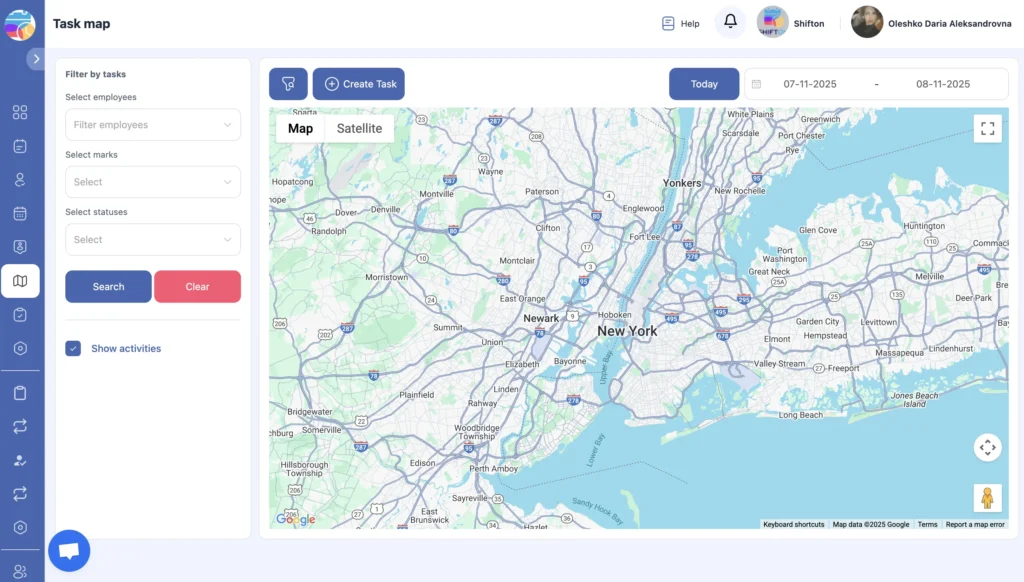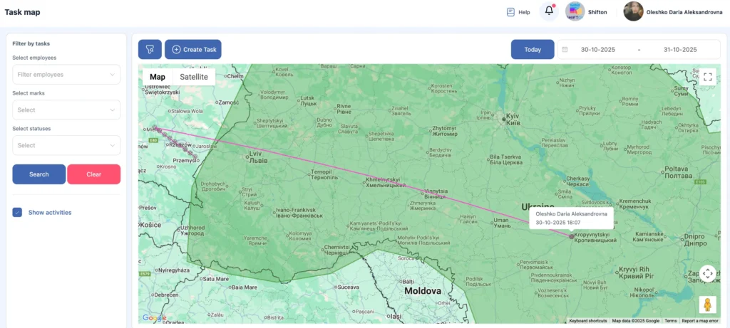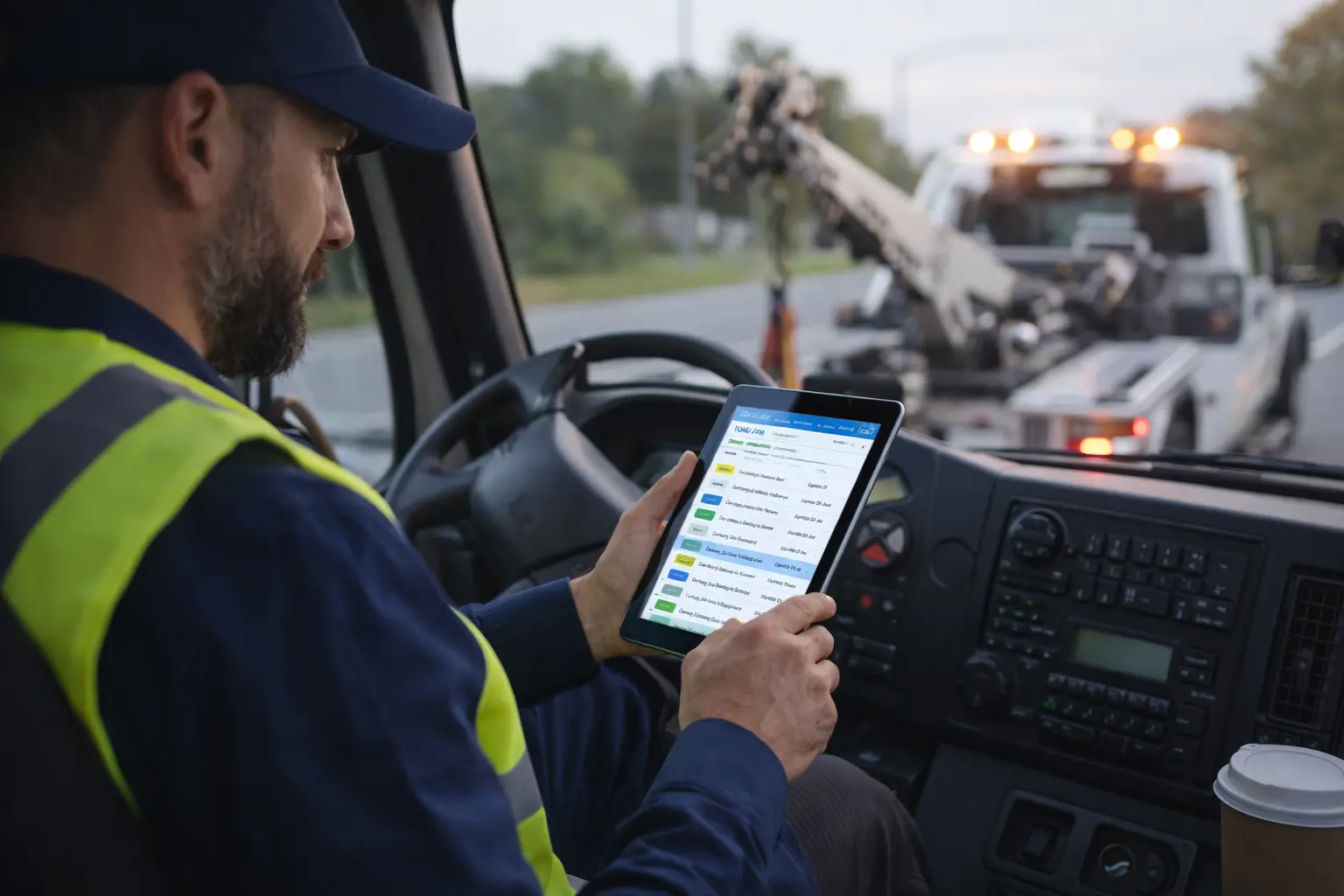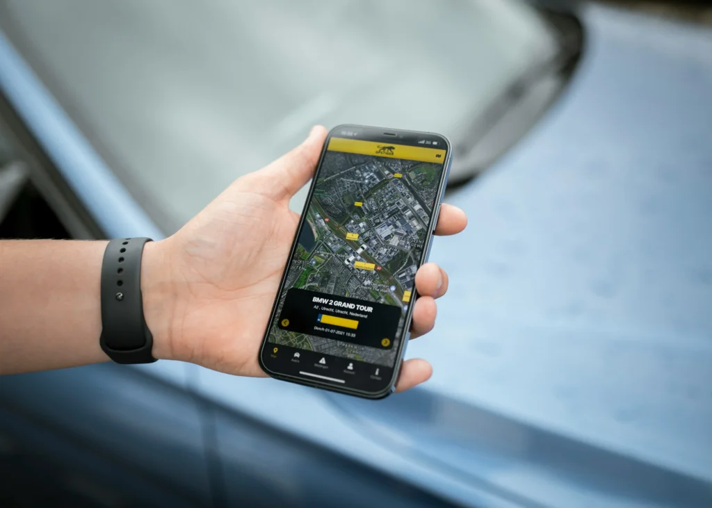
Visual Map and Route Insights with Team Location Tracking Software
With team location tracking, you decide how precisely the system captures movements.
For long-distance routes, you can set checkpoints every 10 km, while for urban tasks — every 500 meters.
This flexibility allows you to see not just the route itself but the overall workflow dynamics — where time is lost, how resources are distributed, and where route optimization can improve efficiency.